Launch date
3rd Quarter, 2015 (Showcased on August 2015)
Problem
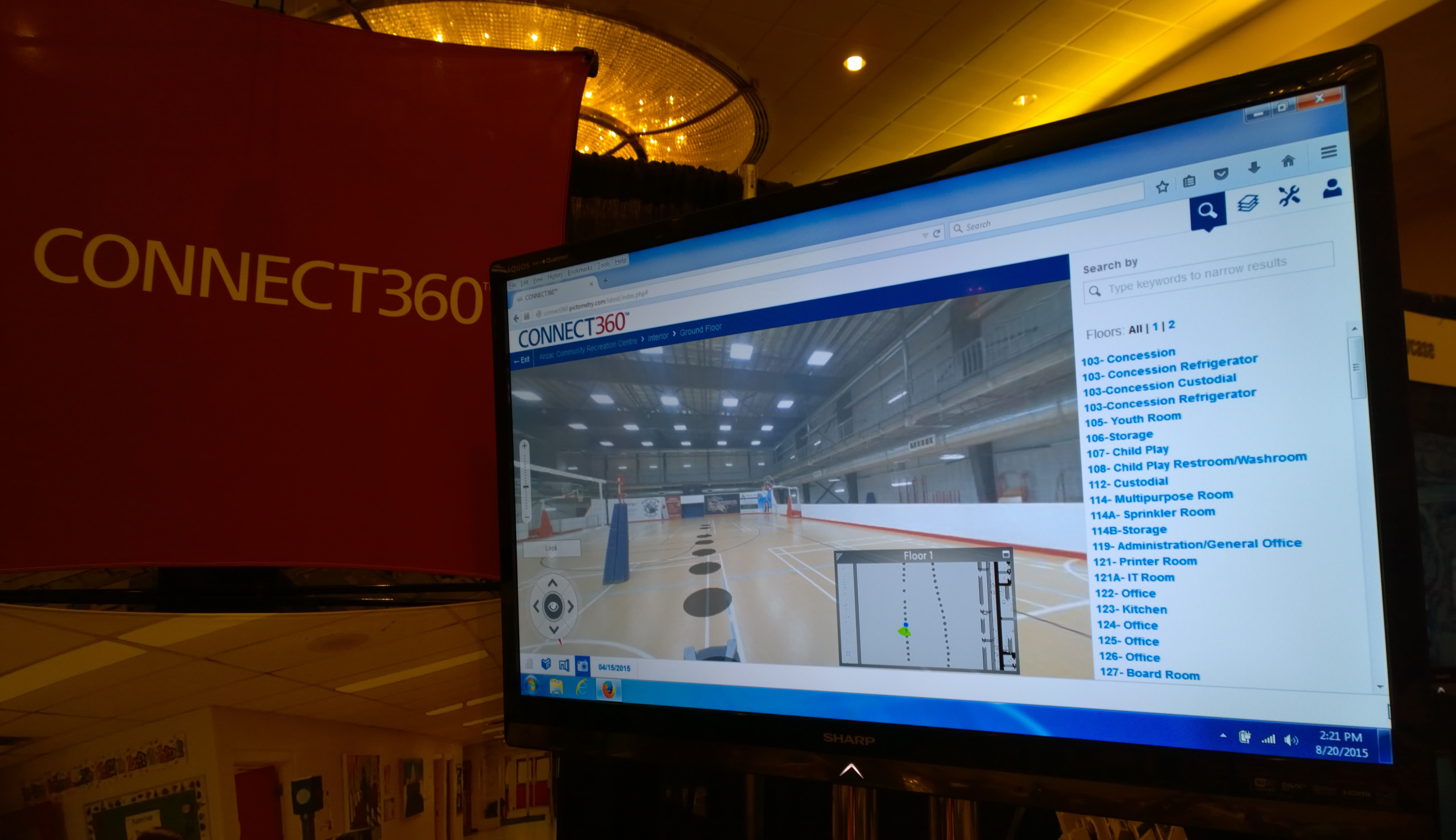
We needed a solution that allows emergency planning personnel to search building interiors, locate resources and plan for emergency situations using areal Pictometry imagery, floor plans, photo spheres and 3D generated building.
Solution
We created an interface that extended the experience of Connect Explorer to allow users to navigate inside buildings via photo spheres and a first-person 3D experience. Users can quickly locate rooms and resources, view emergency pre-plan data and take advantage of measurement tools.
What I did
- Designed general UI and navigation
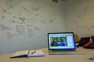
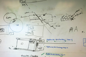
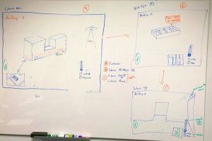
- Mocked up and prototyped ideas to share with team and stakeholders
- Designed consistency between this application and ConnectExplorer
- Created consistency across similar tools
- Worked closely with another UX Designer and development team to come up with solutions for various needs and features
- Asset creation
Screenshots (more coming soon)
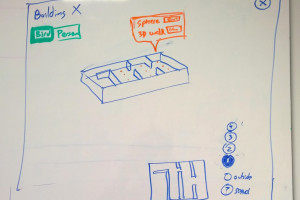
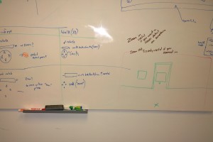
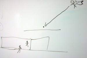
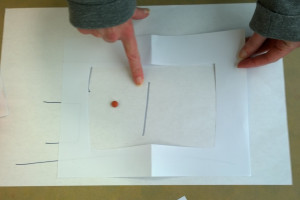
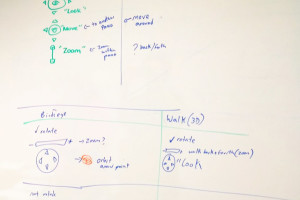
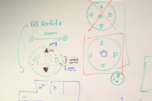
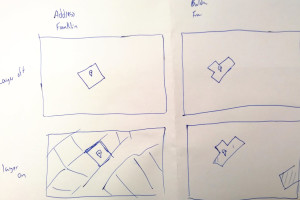
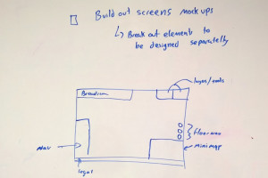
Sketches and whiteboard sessions
Tools used
- Design methods: sketching, whiteboarding, pair design, design review, venn diagram, paper prototyping,
- Design tools: Pen/Paper & whiteboards, Balsamiq, Adobe Fireworks, Photoshop
- Communication tools: Skype, GotoMeeting, WebEx