Problem
County Assessors utilize robust back-end tools (like CAMA) to help them assess properties for tax purposes while in the office. But when they conduct field work and visit the properties in person, their process tends to be completely paper-based. This process is error prone and time consuming and can result in lower accuracy in the assessment of property value.
Solution
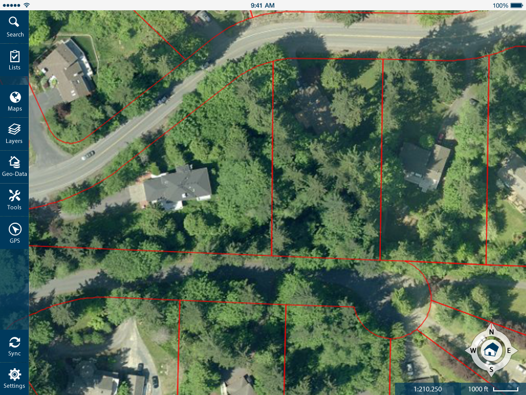
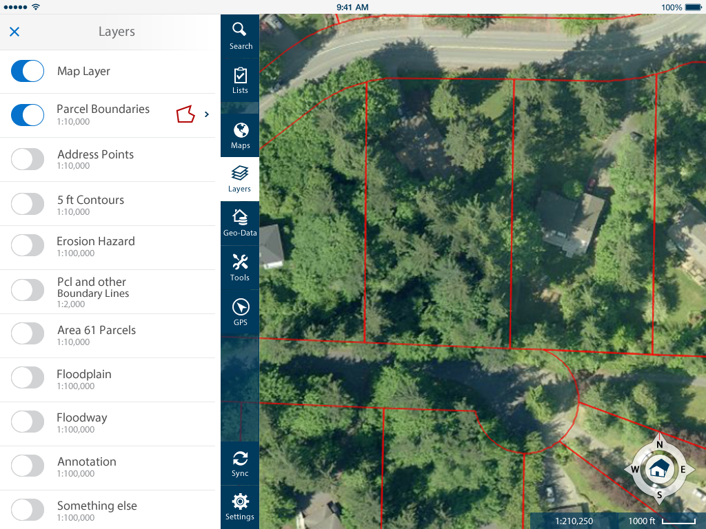
We developed an iPad app that integrates the CAMA data and GIS data to visualize information on top of our maps, measurement tools and sketching capabilities to update property information while on the field. This app takes advantage of EagleView’s Pictometry imagery which provide highly detailed photographs of the property from 5 angles (from the North, West, East, South and top).
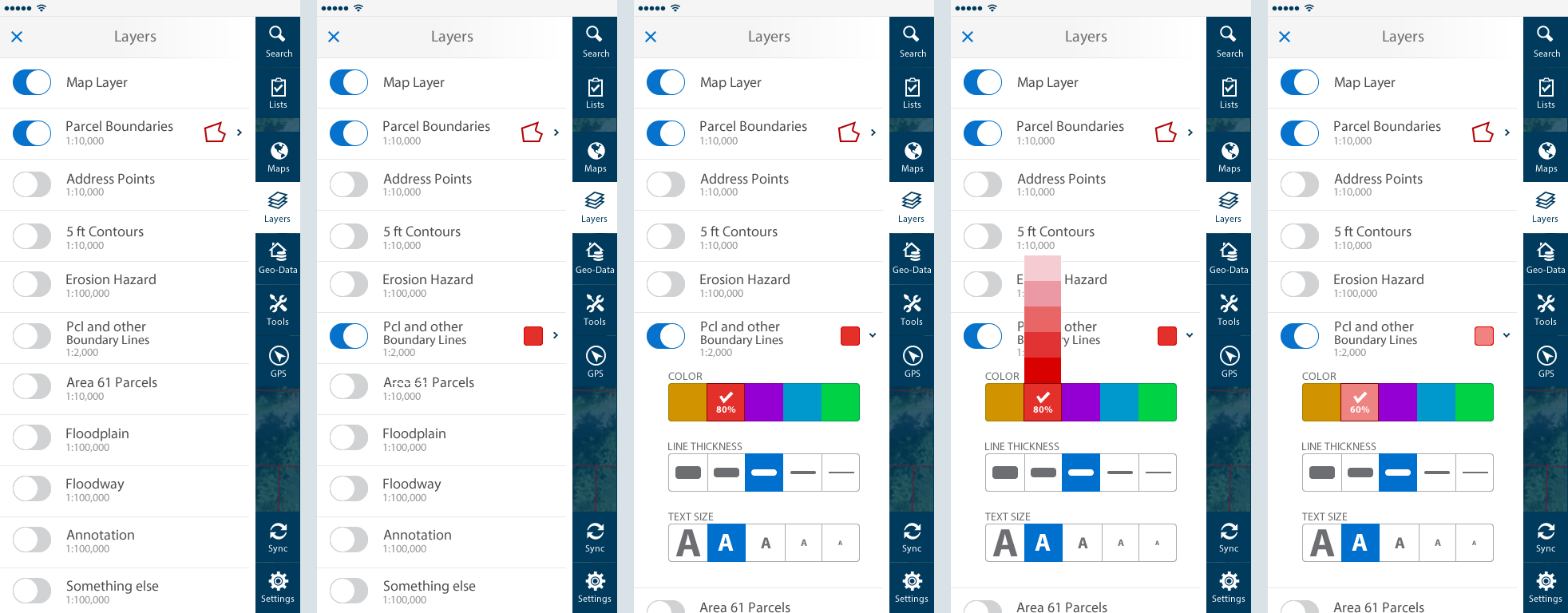
Screens (more on the way)
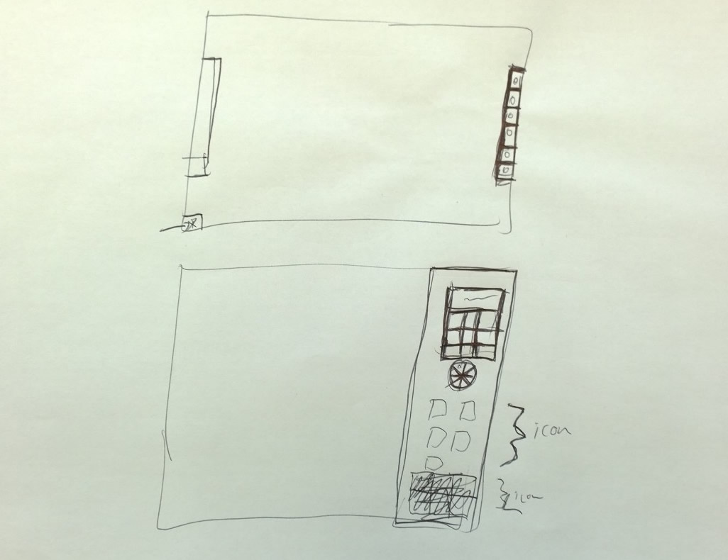
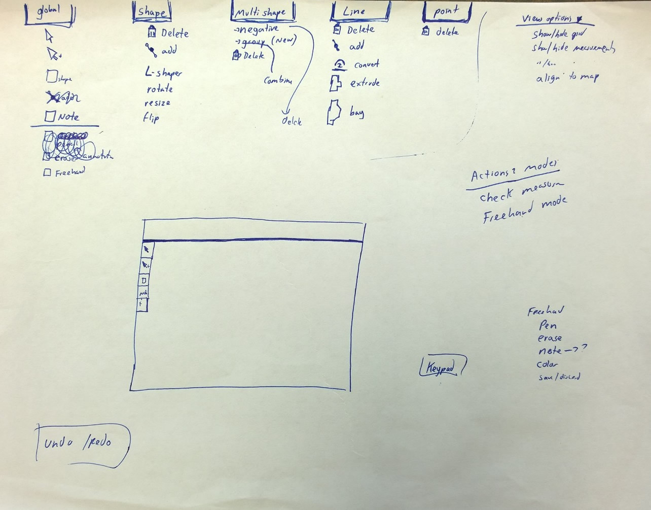
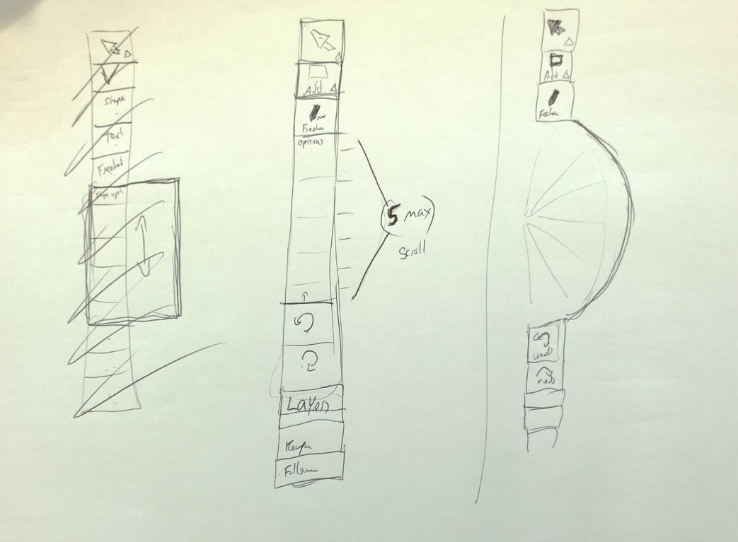
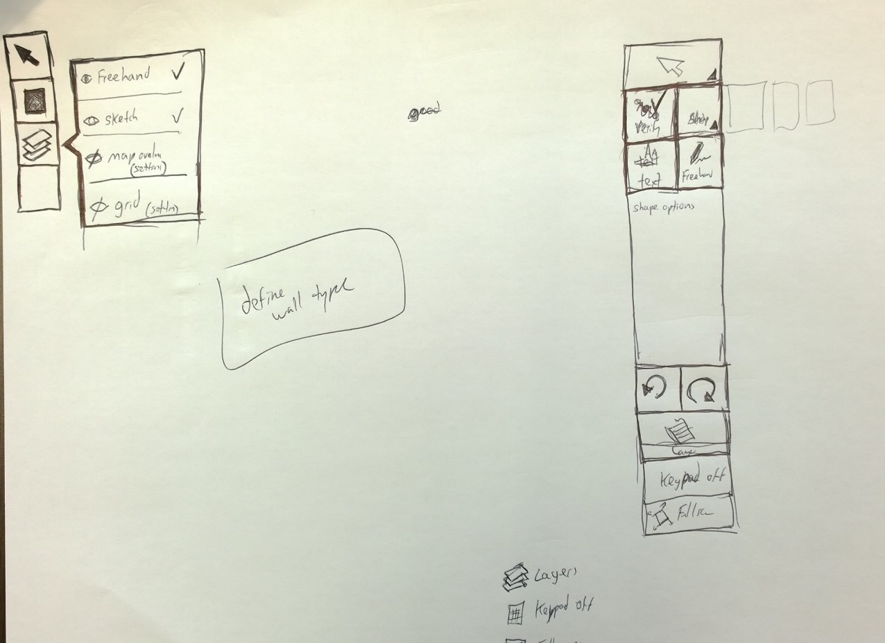
Sketches & Prototypes
What I did
- Conducted design sessions with product team, including VP of Mobile, to clarify requirements and brainstorm new ideas for answering perceived needs
- Whiteboard and sketching
- Adhoc meeting with offsite development team to discuss design ideas and implementation ideas
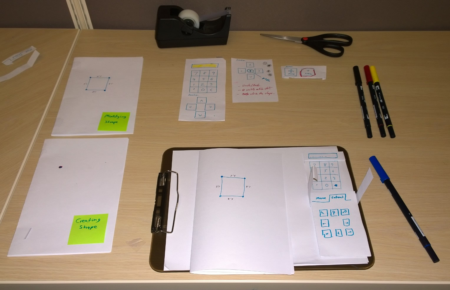
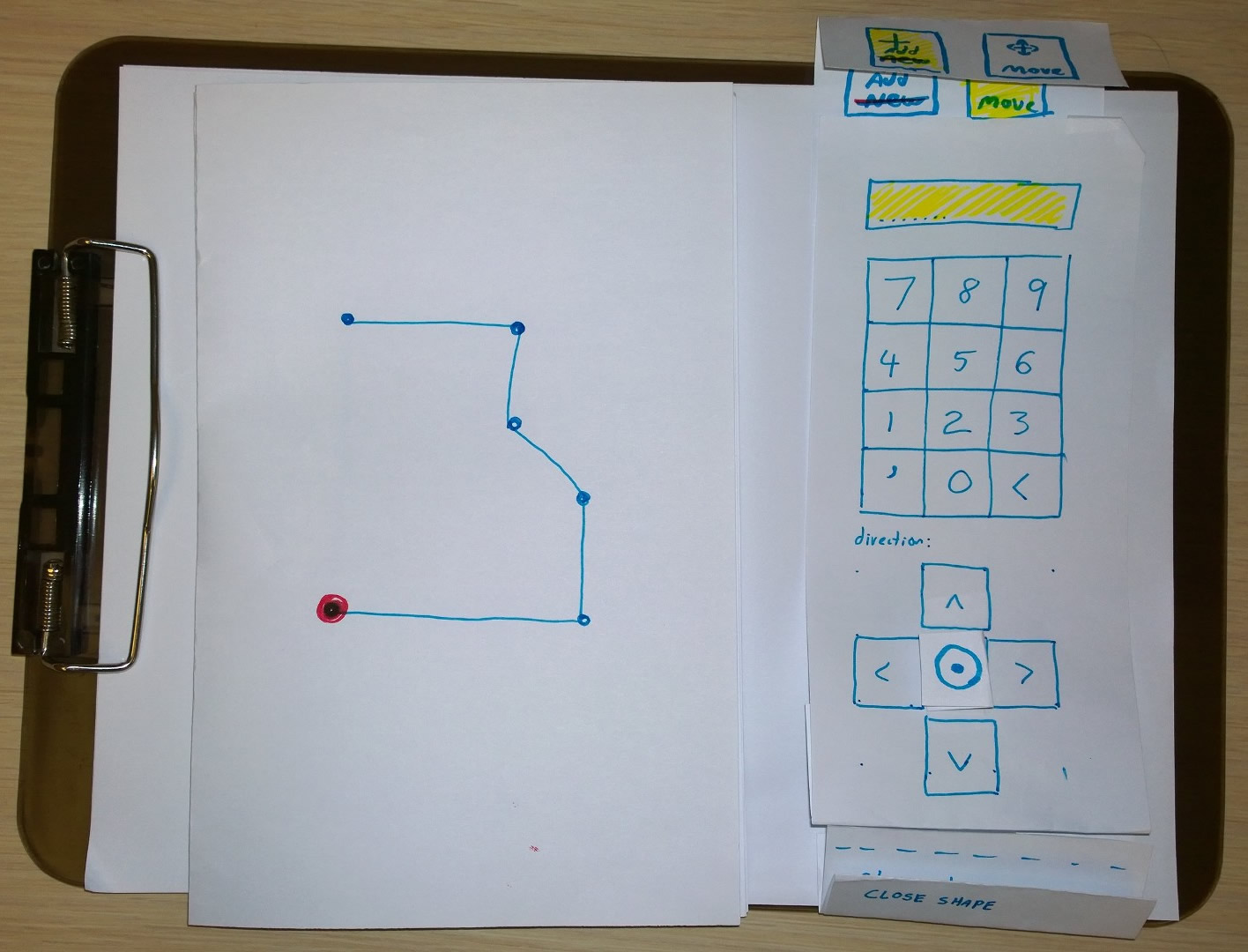
- Paper prototyping to flush out interaction design
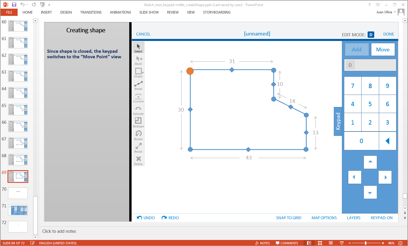
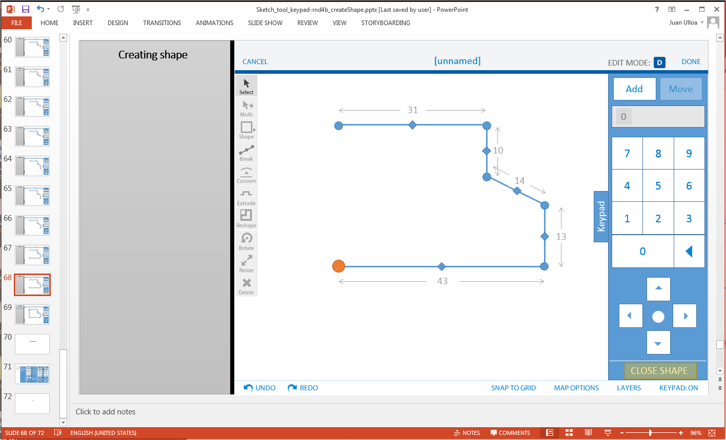
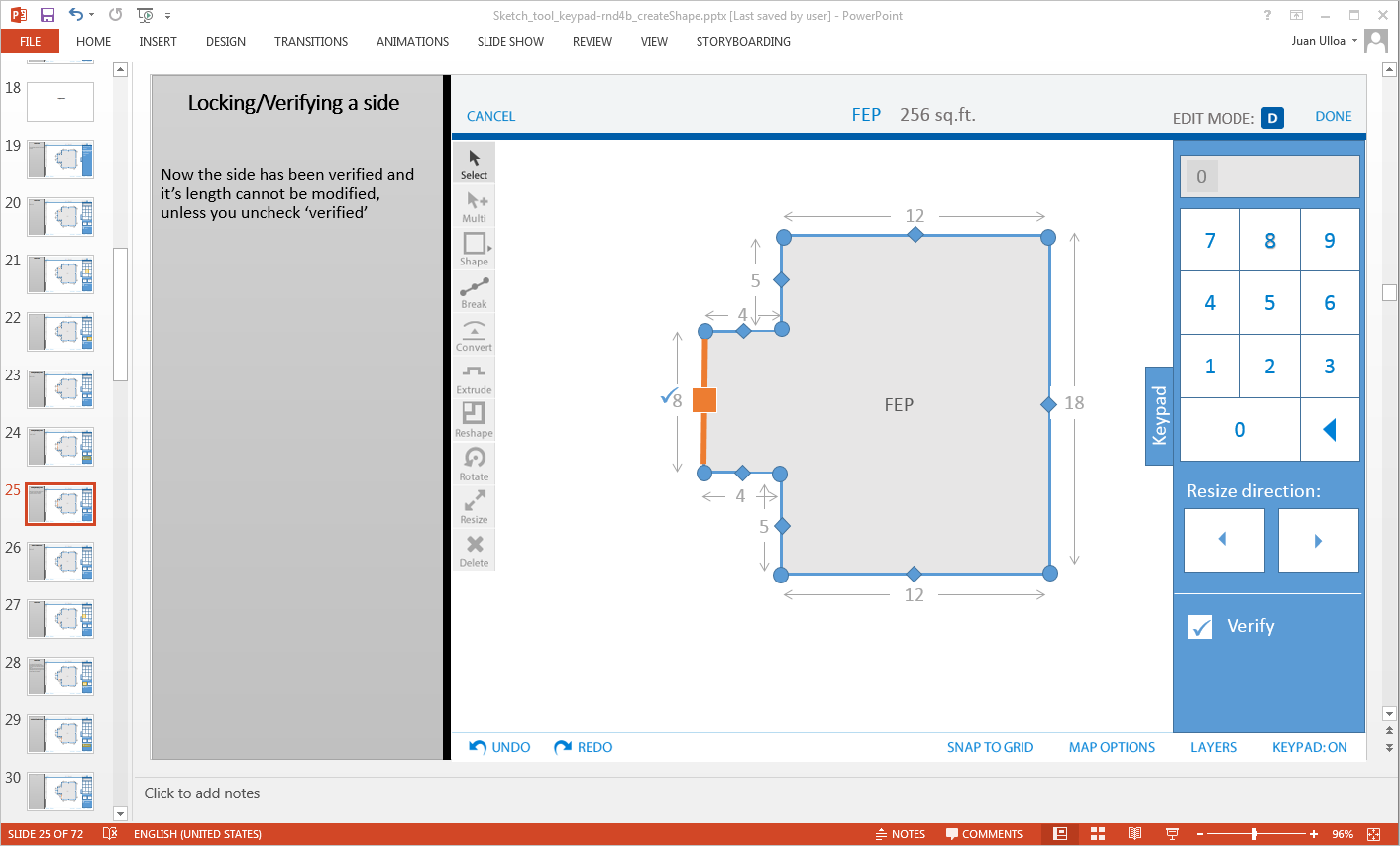
- Low to high fidelity mockups and prototypes
- Created early wireframes, redlines and high fidelity designs
- Created a design pattern and style guide document outlining relationship between elements
- Final asset creation
What I didn’t do: A teammate created many of the icons which I later cleaned up and converted into single shape vector images. Also, some early wireframes and mockups were done for a section of the app before I started with this project, I ended up revisiting all those designs as the product evolved.
Tools used
- Design methods: Day-in-the-life scenario*, field studies*, sketching, white boarding, design review, wireframes, paper prototyping.
- Design tools: Whiteboards/Markers,Pen/paper/scissors/tape, Balsamic, Fireworks, PowerPoint,
- Communication/collaboration tools: Google Hangouts, Skype, gotoMeeting, Jira, SourceTree
* I did not participate in the creation of the day-in-the-life scenario or conducting the field visits, but these were methods used by team members that I was able to take advantage of during my design process
Variations
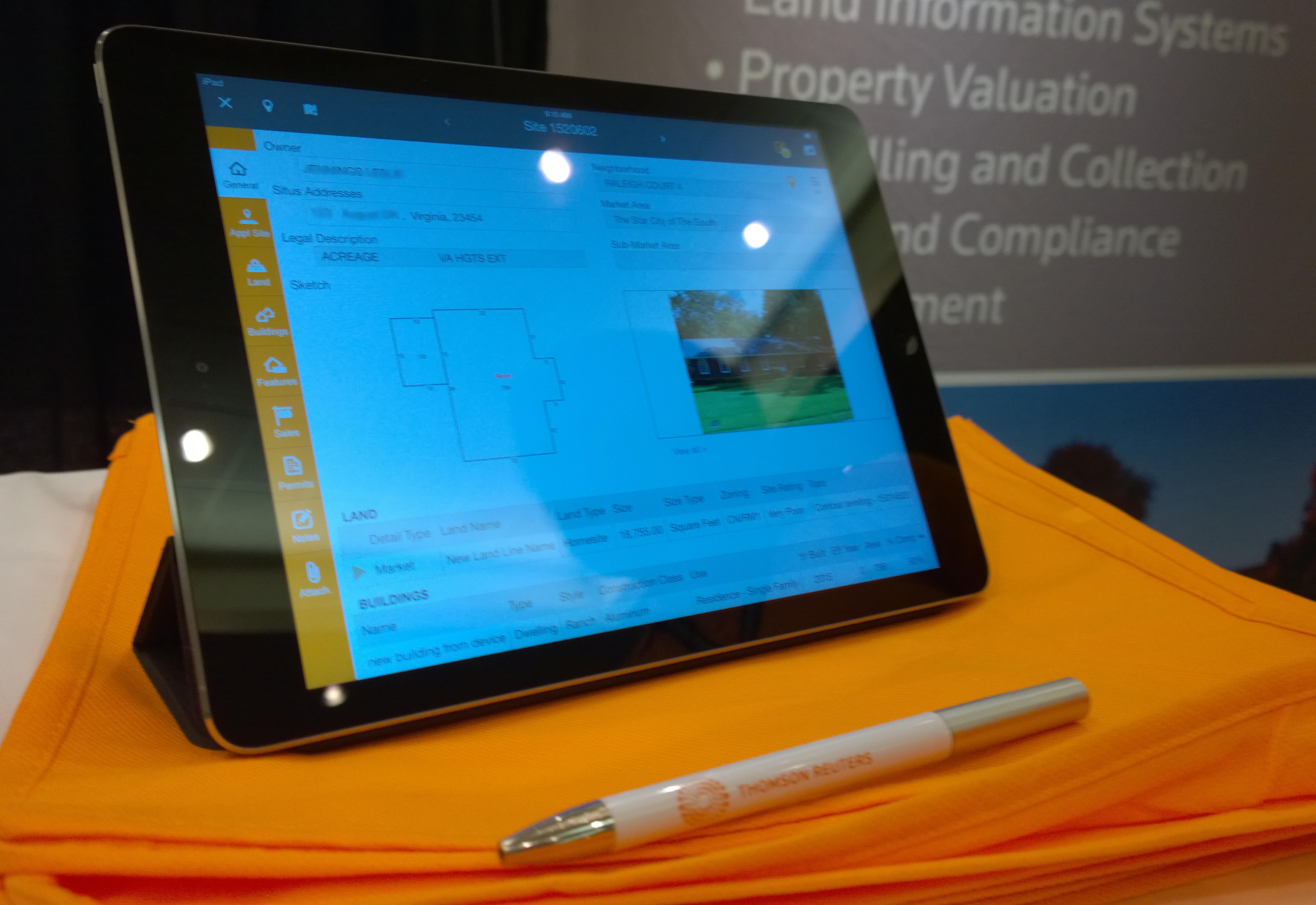
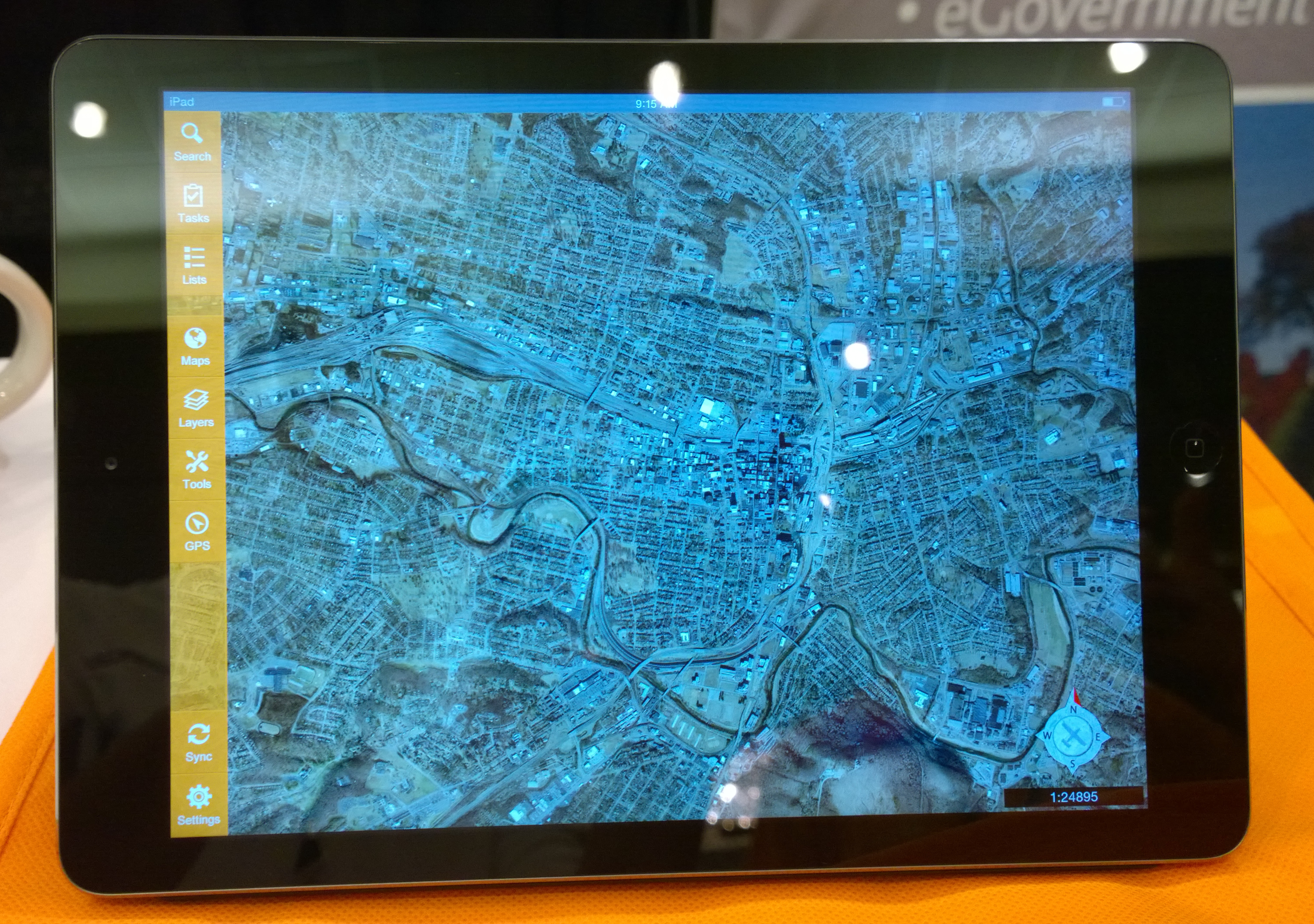
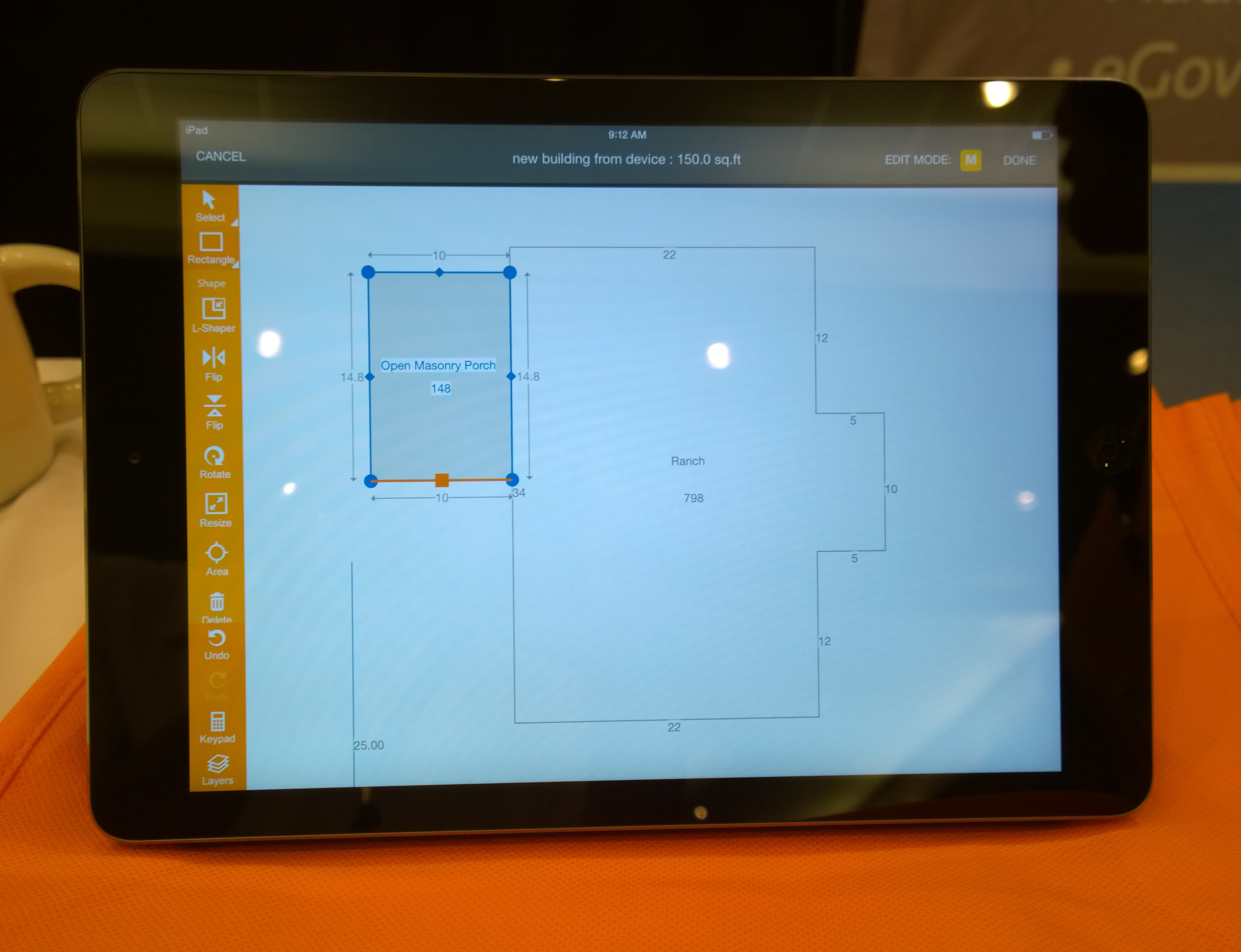
Most of the work in this project also is visible in Aumentum Valuation Mobile, which is a customized white-label version of the app. Below are photos take from a conference show room. For this project, I only provided updated assets to correspond to the color theme.
A little story
Before I started on the project, the product lead had already shadowed property assessors during their field work and a document outlining a day in the life of a property assessor was created. This document helped enormously during the design process. Later on, our product lead did the same with assessors from another client, which gleaned into more insights into their paper-based process during fieldwork. This helped validate and introduce tweak functionality into our app.
I worked closely with the project lead to work out interactions, paper prototypes and design work at all stages in fidelity. During these design sessions, it was not uncommon for us to hash out an idea on the whiteboard and make a decision on the spot. Sometimes we would call the dev team in Costa Rica and discuss the design and implementation.